GALLERY: Flash floods hit Floyd County
Flooding occurring in western Floyd County as of 7 p.m., in the Nora Springs/Rudd area. Several roads under water. Submitted by Deputy Bartz of the Floyd County Sheriff's Office.
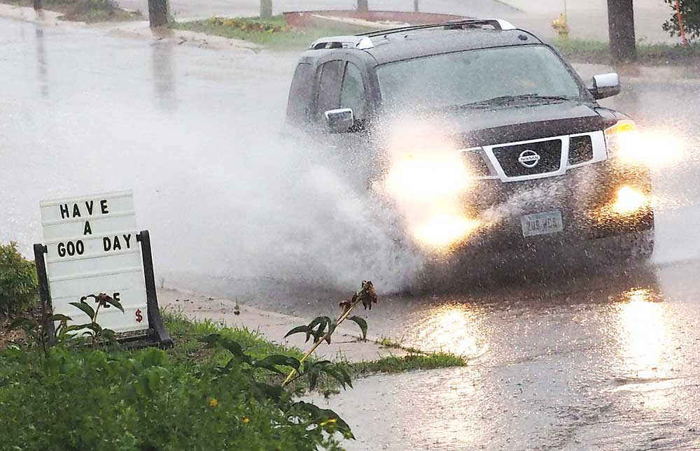
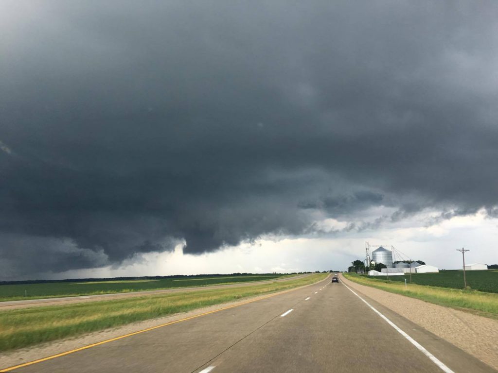
Press photo by Chris Baldus

Press photo by Chris Baldus
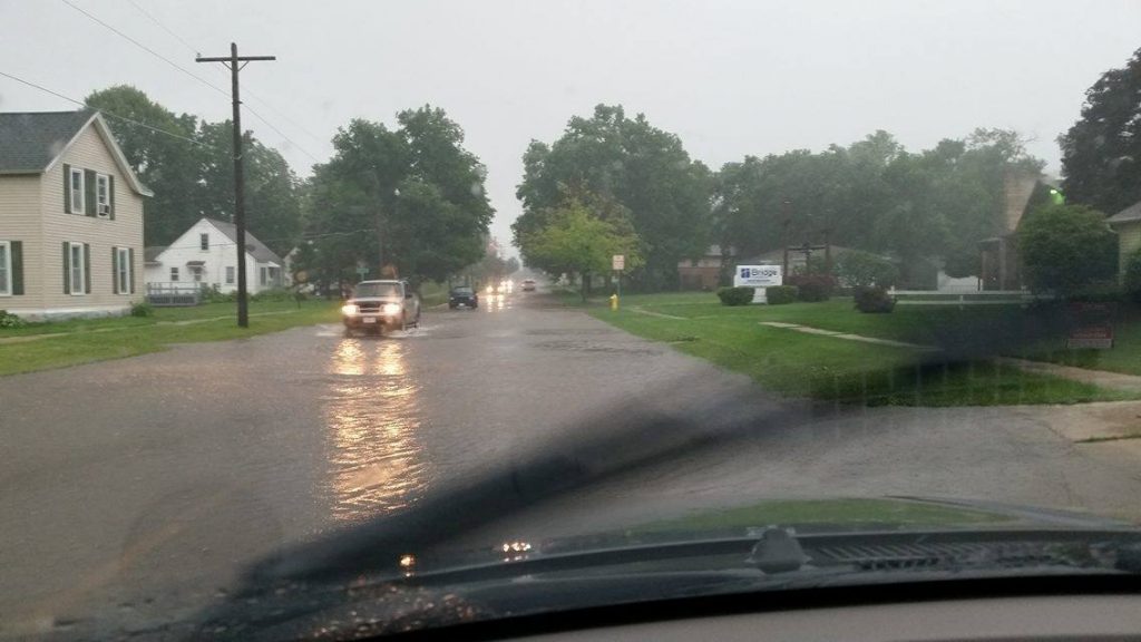
Street flooding on South Main Street by the Bridge Church. Photo submitted by Bradley Ellingson.

Press photo by Chris Baldus
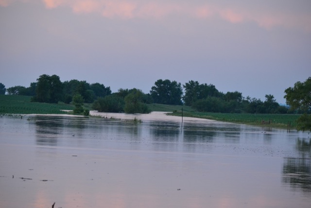
Flooding in Floyd. Submitted by Christian Kreger
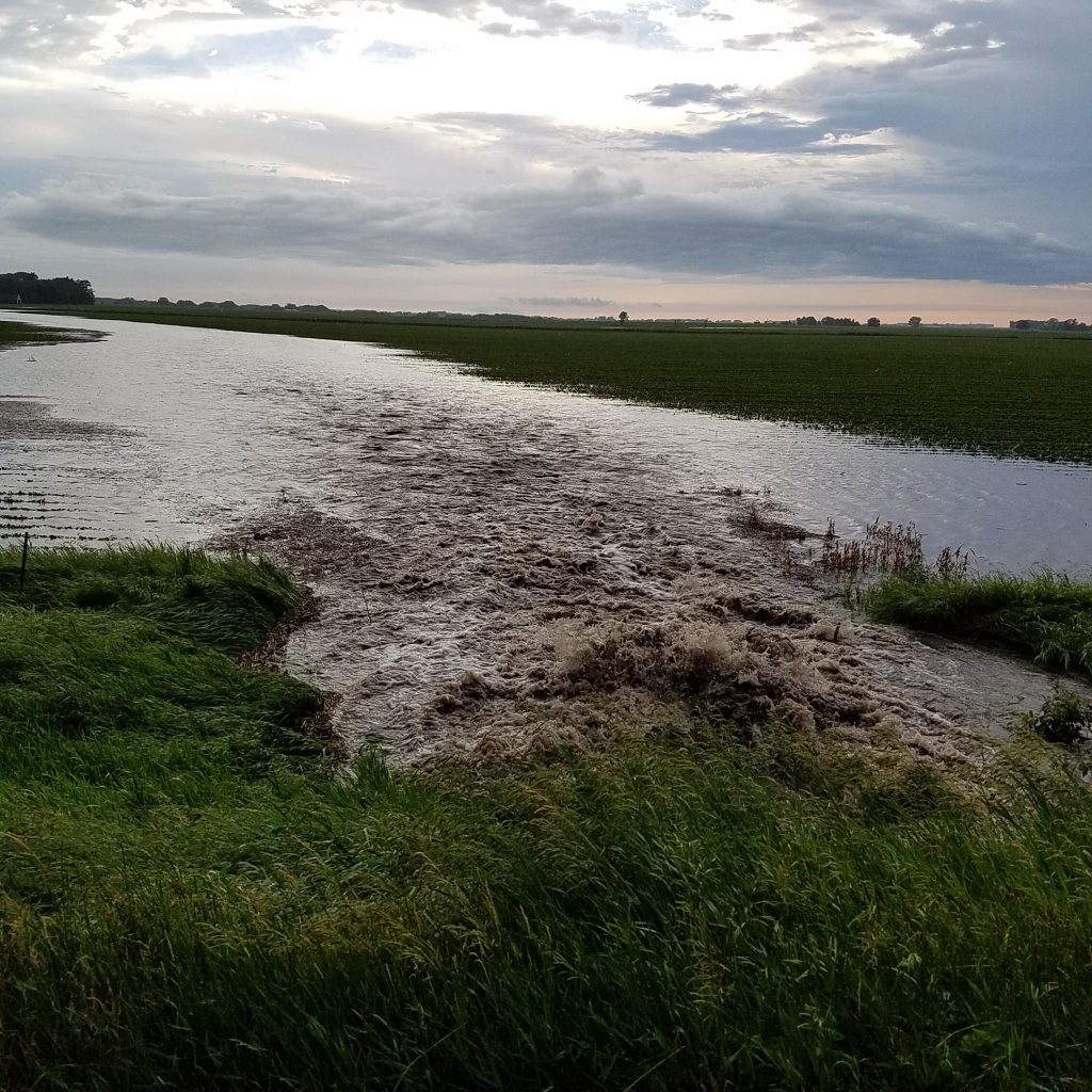
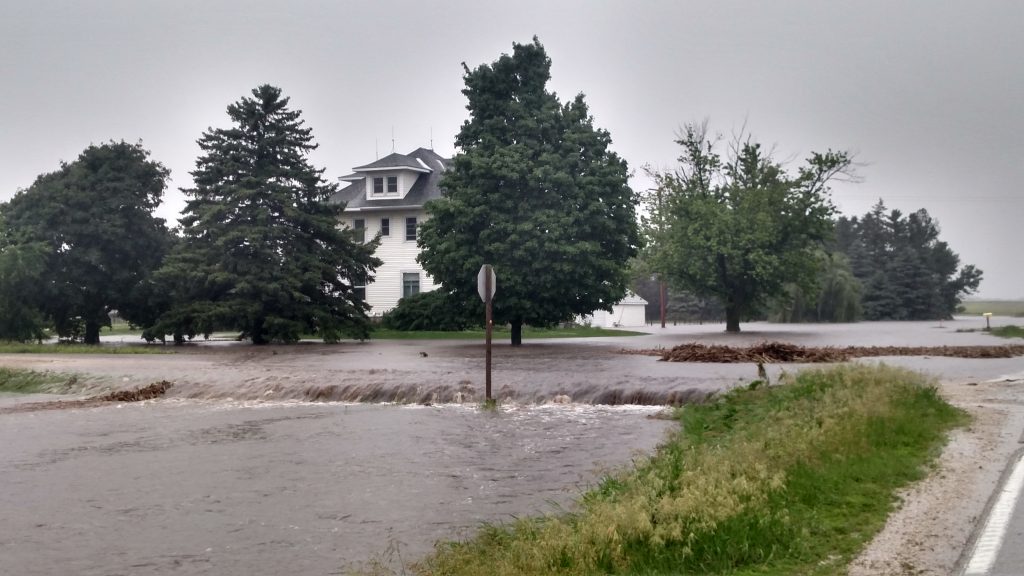
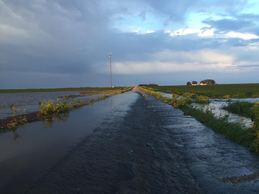
North of Rudd. Contributed by Deb Jorgensen
North of Rudd. Contributed by Deb Jorgensen
North of Rudd. Contributed by Deb Jorgensen
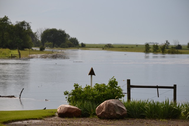
Floyd/Charles City before the rain. Contributed by Glenda-Sig Alinea
Floyd/Charles City before the rain. Contributed by Glenda-Sig Alinea

Northwest of Rudd. Contributed by Sonya Van Dyke
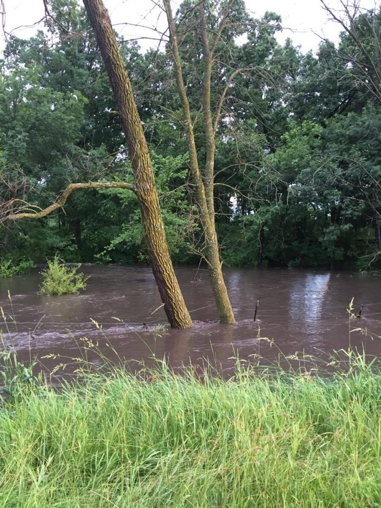
Floyd. Contributed by Mikaela Kreger
Floyd. Contributed by Mikaela Kreger
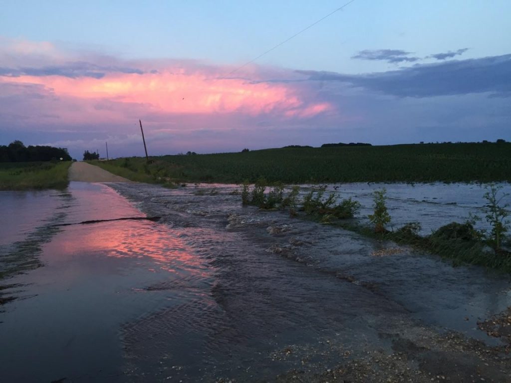
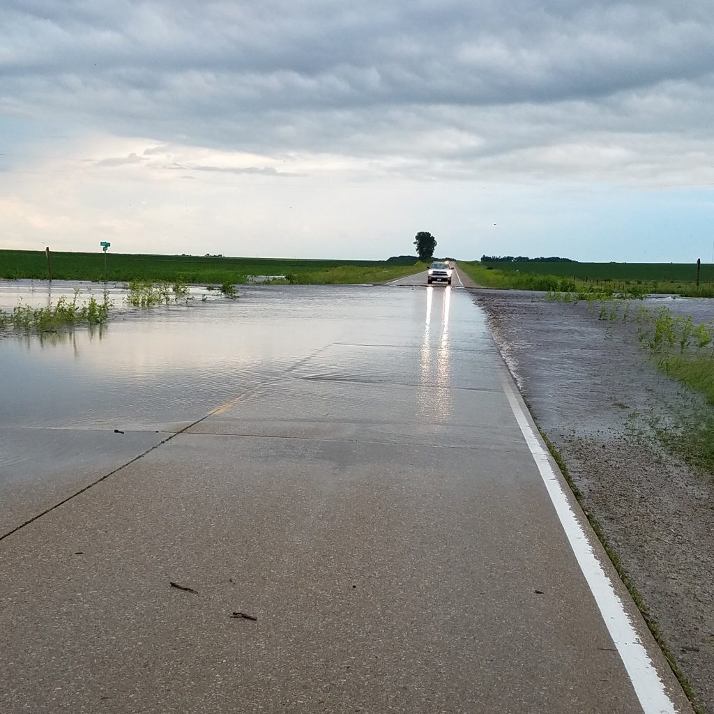
South of Rockford towards Marble Rock. More than 30 roads are flooded, the Floyd County Sheriff's Office estimates. Contributed photo by the Floyd County Sheriff's Office
South of Rockford towards Marble Rock. More than 30 roads are flooded, the Floyd County Sheriff's Office estimates. Contributed photo by the Floyd County Sheriff's Office
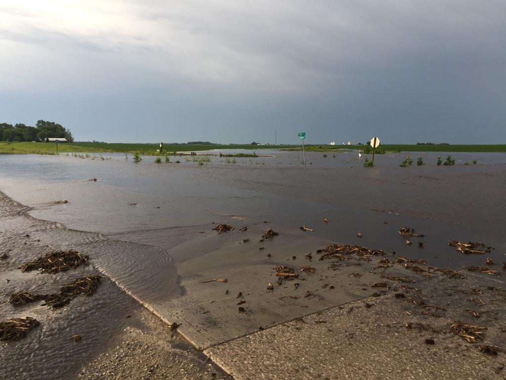
South of Rockford towards Marble Rock. More than 30 roads are flooded, the Floyd County Sheriff's Office estimates. Contributed photo by the Floyd County Sheriff's Office
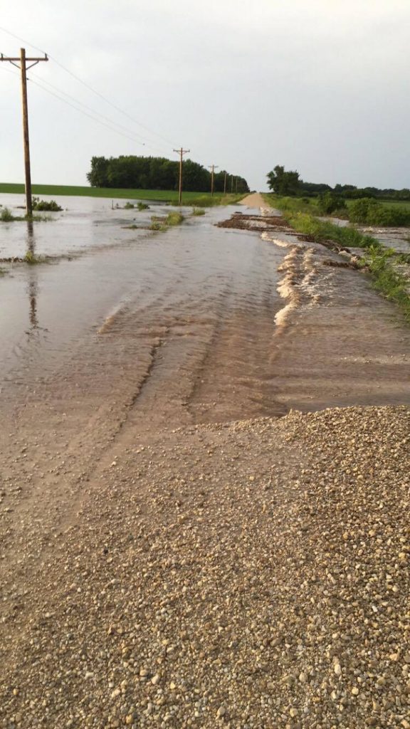
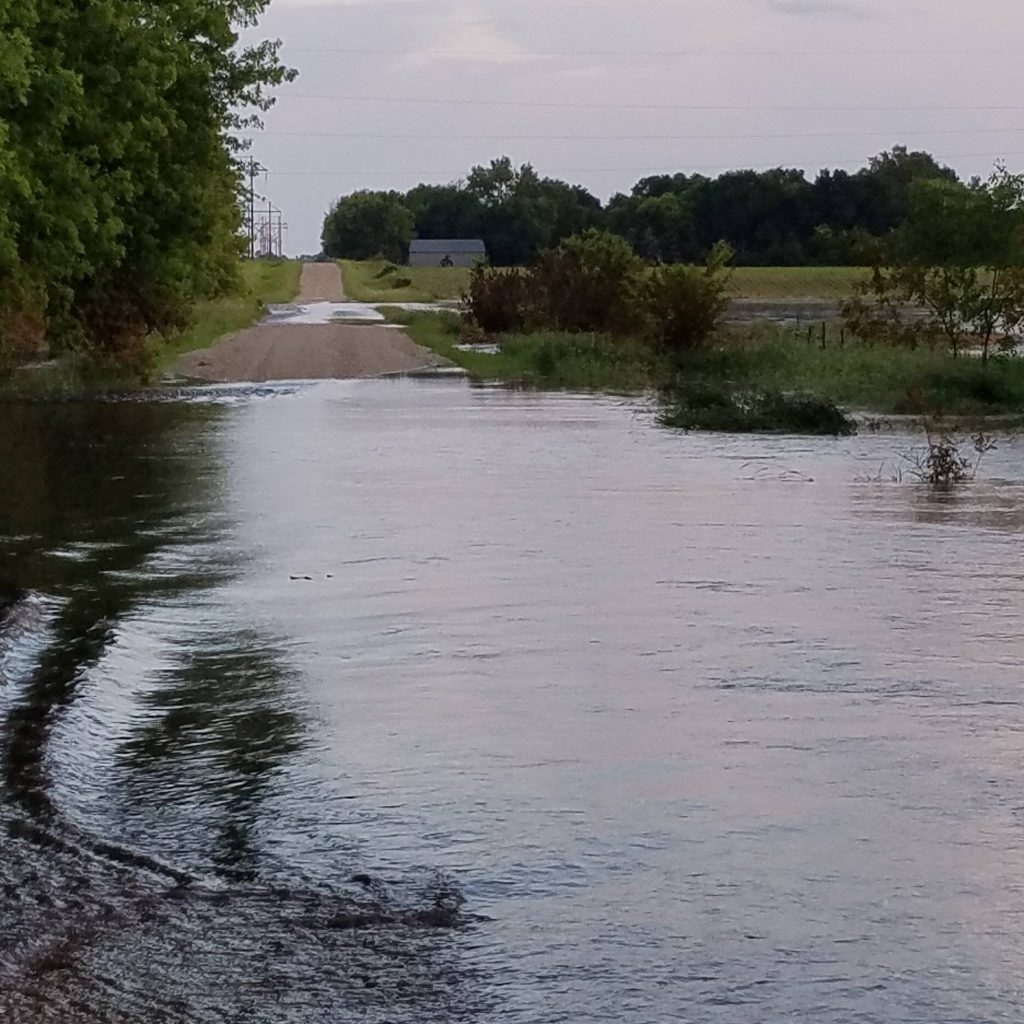
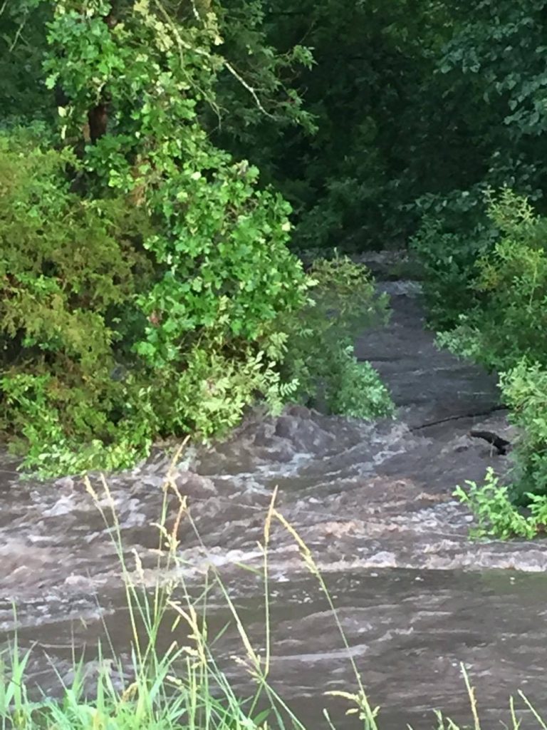
Creek flooded two miles west of Rudd on B 30. Contributed by Donald Bortz
Creek flooded two miles west of Rudd on B 30. Contributed by Donald Bortz
By Kate Hayden
khayden@charlescitypress.com
TUESDAY, 11:53 p.m.: High water levels are expected into Wednesday as the weather settles from Tuesday afternoon’s fierce storm activity, the National Weather Service-La Crosse reported last night. Minor flooding of rivers and streams was expected to continue into early morning hours, with a flash flood watch for Floyd County expected to expire by 1 a.m.
Street flooding and flash floods was observed throughout the county by residents on Tuesday evening. The Floyd County Sheriff’s Office observed flash floods near Nora Springs, Rudd, and south of Rockford toward Marble Rock, estimating that more than 30 county roads were flooded by the end of major rain.
In Charles City, parts of Clark Street and South Main Street were reported to be flooded over by 6:20 p.m. Thunderstorm wind gusts were reported at 41 miles per hour by the NWS at 4:45 p.m. Heavy rain was measured at 1.59 inches at 10:30 p.m., and a recorded 2.5 inches fell south/southeast of Rockford.
Wednesday is expected to be mostly sunny with a high of 85, and stay clear into the night. No storms were predicted Tuesday night until Sunday, June 19.
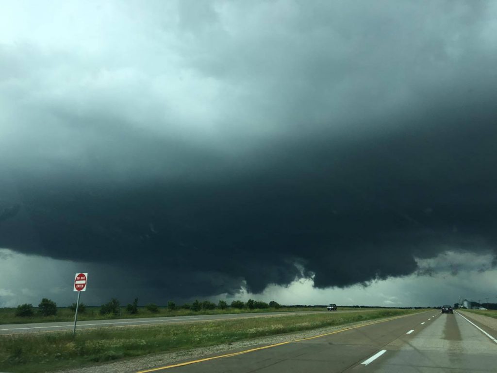
8:25 p.m.: A flash-flood watch in Floyd County has been issued until 1 a.m. on Wednesday morning. Thunderstorms are expected to spread across north central and northeast Iowa overnight, with rainfall of 1 to 2 inches expected, although 3 to 5 inches is possible.
A ‘flood warning’ means ‘take action’, the National Weather Service reminded viewers as Tuesday’s rains remained steady. The NWS is advising residents living in low-lying areas to move to higher ground, and drivers be vigilant as nightfall approaches.
ORIGINAL: The National Weather Service in La Crosse has issued a flash flood warning through Floyd County until 8:15 p.m. By 5:22 p.m., up to 3 inches had already fallen, with the highest reported from Nora Springs to New Haven and Riceville in Howard/Mitchell County. An additional 1 to 2 inches is expected by 7 p.m.
The NWS warns that Nora Springs, Rockford, Rudd, Floyd and Marble Rock may experience flooding.


Social Share