Storms roll through Charles City, but no major damage

The Charles City Police Department shared a photo on its Facebook Page of a large tree that had fallen on E Street just off of 13th Ave in Charles City Tuesday morning. (Photo submitted.)

There were reports of pea-sized to half-inch hail and photos on the Floyd County Emergency Management Facebook Page. (Photo submitted.)

Some local Canada Geese had a hard time telling the difference between the Cedar River and a parking lot near Riverside Drive during the torrential rain in Charles City Tuesday. (Press photo James Grob.)
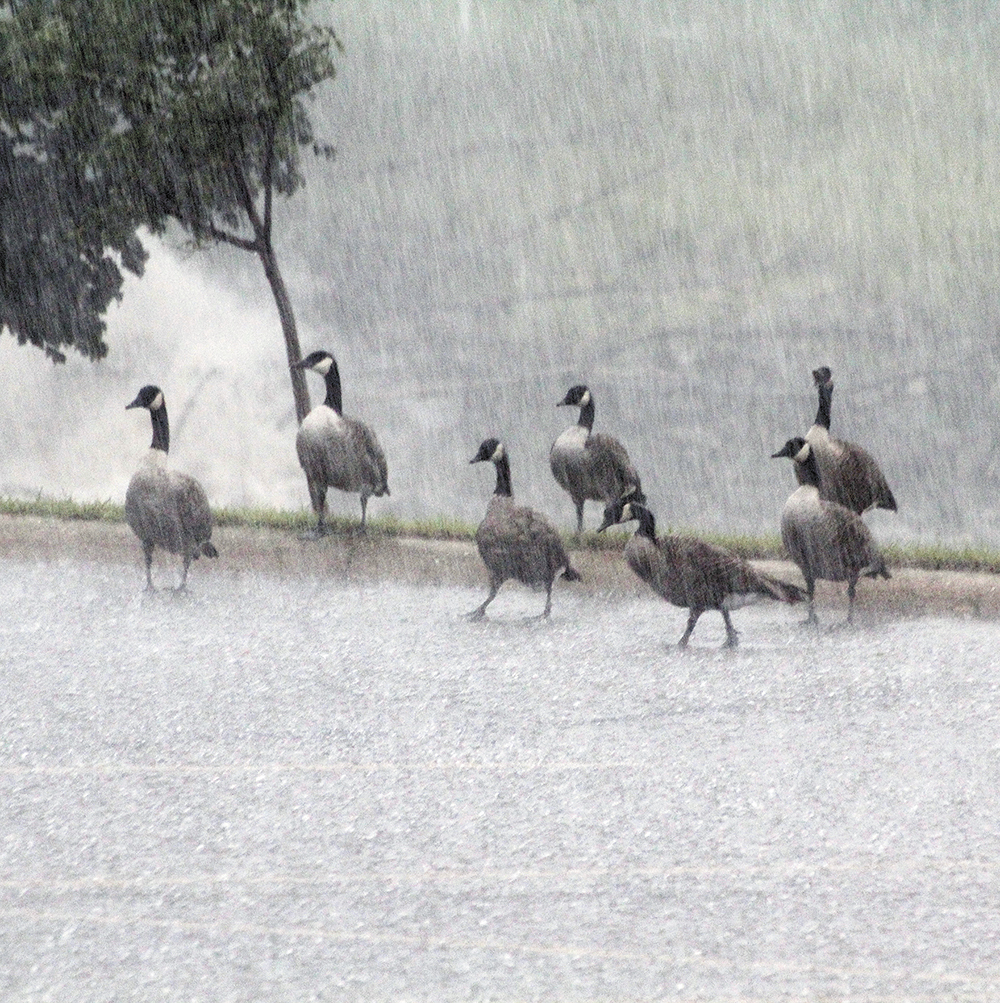
Some local Canada Geese had a hard time telling the difference between the Cedar River and a parking lot near Riverside Drive during the torrential rain in Charles City Tuesday. (Press photo James Grob.)

The Charles City Police Department shared a photo on its Facebook Page of the storm front as it approached Charles City Tuesday morning. (Photo submitted.)
By James Grob, jgrob@charlescitypress.com
It was a smorgasbord buffet of weather in and around Charles City on Tuesday.
Starting at about 9 a.m., the city was treated to lightning, hail and high winds, then torrents of rain were dumped on the town at various intervals throughout the day.
As of 6 p.m. Tuesday, the Floyd County Sheriff’s Office reported it had no reports of any major damage in the county. The Mid-America Energy website showed no substantial power outages in the Charles City area.
“We do have some wind damage with trees down, but were spared worse,” the Charles City Police Department reported on its Facebook page.
Severe storms rocked several Northeast Iowa communities Tuesday morning, causing some wind damage. The storms tracked from west to east, and affected Mitchell, Floyd, Winneshiek, Allamakee, Chickasaw, Howard and northern Fayette counties.
At about 9 a.m., the sky became dark enough that street lights throughout the city came back on, and 60-mile-per-hour winds blew through Charles City, downing some large trees.
The Police Department shared a photo on its Facebook Page of a large tree that had fallen on E Street just off of 13th Avenue in Charles City. Quarter-size hail accompanied the storm. There were reports of pea-sized to half-inch hail and photos on the Floyd County Emergency Management Facebook Page.
Heavy rains came to Charles City in the afternoon. Shortly after 2 p.m., the Police Department reported many streets were flooded, and urged drivers to use caution and slow down.
There was high water on the street on the corner of Gilbert and Freeman, at the stoplight near the Schueth Ace Hardware building, making travel difficult for motorists. There were reports of flooding at the Joslin Street and Hulin Street intersection, while several city creeks and streams were temporarily over their banks. Many other places in and around Charles City saw flash flooding Tuesday afternoon.
Other northeast Iowa communities that received heavy rain, winds and hail on Tuesday included Fredericksburg, Lawler, West Union, Calmar, Ossian, Postville, Clermont, and Marquette. There was no word late Tuesday of any serious structure damage or injuries in any of those towns.
According to the National Weather Service, a severe thunderstorm watch was in effect until 9 p.m. Tuesday evening and a flash flood watch was in effect until 7 a.m. Wednesday morning. The NWS said that rainfall of 1-3 inches with locally higher amounts was possible throughout Tuesday night, and ponding of water and eventual flooding were possible.
Sunshine is expected for most of Wednesday and clear skies on Wednesday night and into Thursday. Showers are expected to return Thursday night, throughout the day on Friday and into the weekend.


Social Share