Tornados touch down in Floyd County during a day of storms
By Bob Steenson, bsteenson@charlescitypress.com
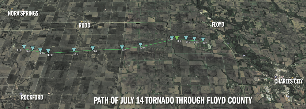
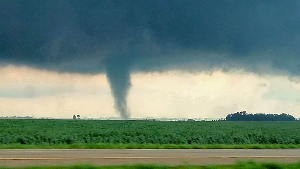
A tornado with up to 90 mph winds touched down Wednesday evening and traveled 11 miles along a line from between Rudd and Rockford to south of Floyd, according to an investigation by the National Weather Service.
NWS investigators were on the scene Thursday morning to track the path of the tornado, measure its damage and estimate its size and wind speed.
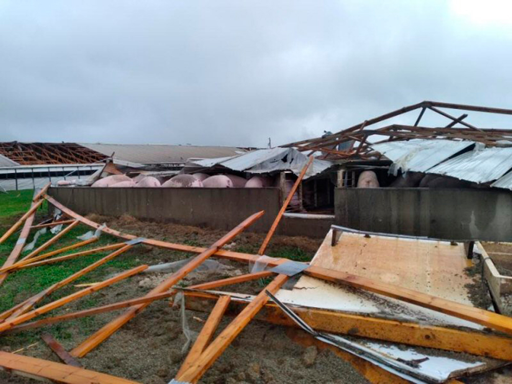
“This tornado produced an intermittent damage path across mainly rural areas of Floyd County,” the NWS report says. “A bulk of the damage was rated EF0, although the tornado intensified towards the end of the path, heavily damaging a hog containment building and nearby crops. That damage was rated a low end EF1 (approximately 90 mph).”
The report says the tornado occurred between 5:32 and 5:59 p.m. and was 60 yards wide at its biggest. There were no reported injuries from the event.
Other funnel clouds were identified by weather spotters, and the National Weather Service office in La Crosse, Wisconsin, which covers the Charles City area, listed three additional reports of tornadoes in Floyd County — 2 miles south of Nora Springs at 5:40 p.m., 1 mile east-southeast of Rudd at 5:51 p.m., and 4 miles southwest of Floyd at 5:56 p.m.
“Two rounds of strong to severe storms impacted the area on Wednesday,” NWS reported. “The first round was a line of strong thunderstorms that produced upwards of 40 to 50 mph winds and pockets of heavy rainfall. Severe weather was limited with this line. The line impacted most of the area.
“The second round sparked by mid to late afternoon, continuing into mid evening, highlighted by supercell storms producing tornadoes. Most of this activity was confined to portions of Iowa,” the NWS said.
A tornado warning was declared for Floyd County from 5:33 to 6:15 p.m. Wednesday, and emergency warning sirens began sounding throughout the city.
A funnel cloud was identified by Charles City firefighters sent out as spotters a little after 6 p.m., moving east at about 35 mph.
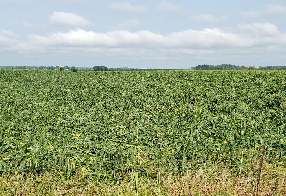
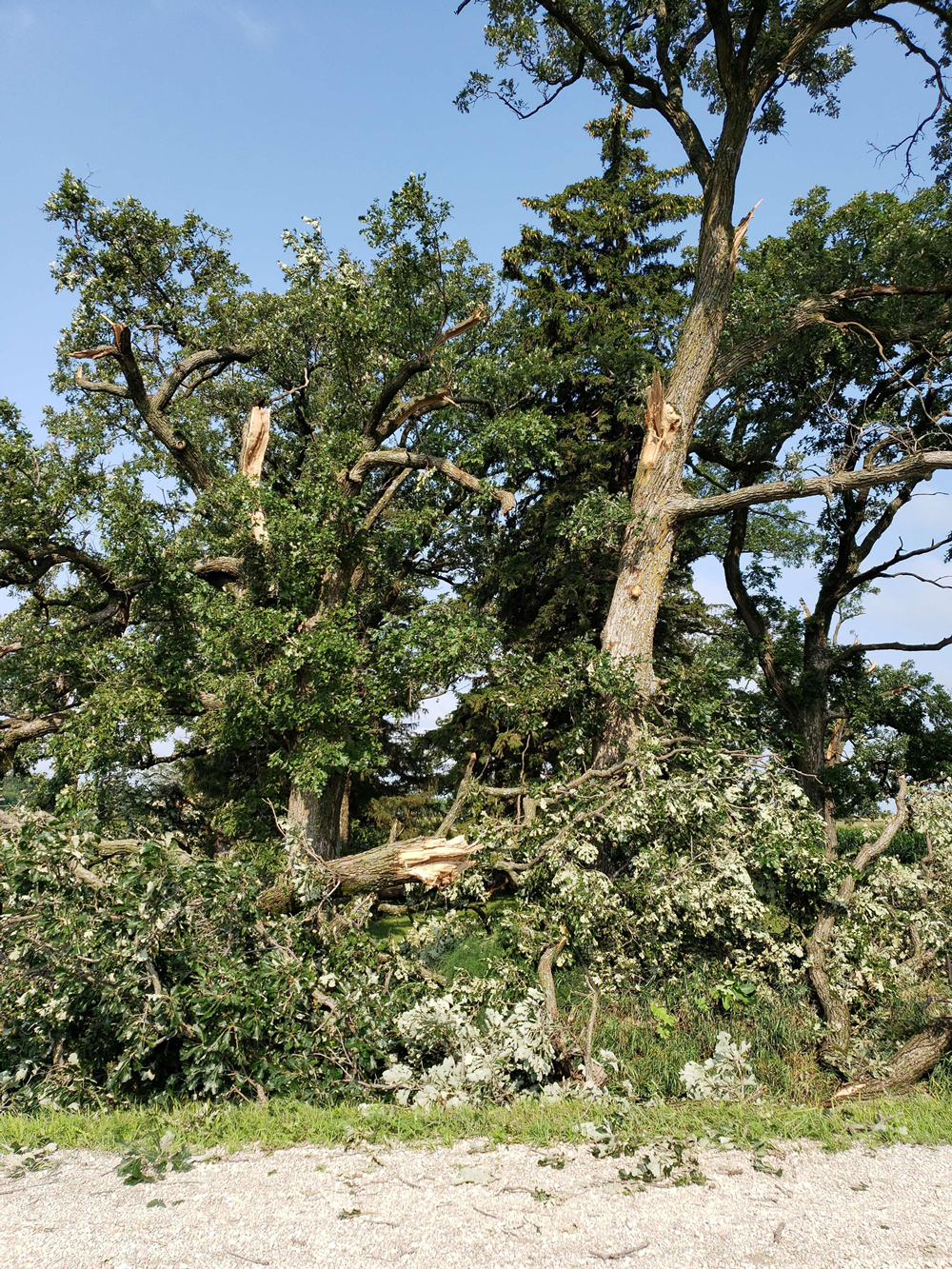
The National Weather Service report includes pictures of corn fields flattened by high winds or a tornado between Rockford and Floyd, as well as reports of trees and branches knocked down. Scanner traffic reported branches fell across a railroad track near the Valero Renewables plant northwest of Charles City.
The Associated Press reported no deaths or injuries but lots of damage from tornadoes that tore through central and eastern Iowa, with damaged buildings, shredded trees and overturned vehicles in the path of the storms, officials said.
Law enforcement and trained spotters confirmed several tornadoes Wednesday afternoon and night in mostly rural, uninhabited areas, the National Weather Service said. But one that touched down near Lake City in north-central Iowa damaged a home while a family huddled in the basement. It also flipped a truck and trailer and flattened nearby corn crops.
A building that houses school buses for South Central Calhoun High School saw part of its roof and doors torn off. In northeastern Iowa, Oelwein Community School District saw its high school sports stadium damaged by a tornado.
The Des Moines office of the National Weather Service reported “at least 12 confirmed tornadoes in our warning area of central Iowa.”
Although the high winds and tornadoes were an unwelcome part of the storms, the rain that fell provided additional relief to an area that has been in severe drought.
Reports showed the following rain amounts from the storms through Thursday morning:
- Charles City — 1.40 to 1.96 inches.
- Colwell — 2.5 inches
- Floyd — 2.37 inches.
- Green — 1 inch.
- Marble Rock — 1.37 to 1.62 inches.
- Nashua — 1.03 inches.
- Nora Springs — 1.64 to 2.08 inches.
- Rockford — 1.64 to 1.77 inches.
- Rudd — 2.09 inches.








Social Share