Floyd County, Charles City monitoring forecast and river levels
By Kelly Terpstra, kterpstra@charlescitypress.com
Weather forecasts change and so do river levels.
That’s why Lezlie Weber is keeping a close eye on possible high-water points across Floyd County and Charles City in the next 24 to 48 hours.

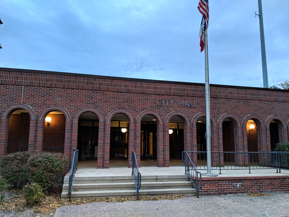
Weber, the Floyd County emergency management director, said a meeting was held Tuesday with county and city officials to construct a plan should the Cedar River rise above its current predicted crest of 14.7 feet. That crest is estimated to occur Thursday morning, according to the National Weather Service.
“We got all the key players at the table and start discussing everything to kind of get ahead of the game,” Weber said.
Earlier in the day Tuesday the Cedar River had been predicted to top 17 feet, which would be well into what is considered the moderate flood stage — major flood stage is 18 feet in Charles City.
But the National Weather Service river forecast was adjusted early in the afternoon to a crest of just under 15 feet. As of early Tuesday evening, the river sat at 8.44 feet and climbing with another 1 to 3 inches of rain predicted to fall through Tuesday night and into Wednesday morning.
“We are supposed to receive a lot of rain throughout tonight (Tuesday),” said Weber. “Everything north of us — the areas where we actually get the water from — are expected to receive a lot of rain as well. So, yes, we will be tracking the levels all throughout the night.”
River forecasts take into account past precipitation and the precipitation amounts expected approximately 48 hours into the future, according to the National Weather Service.
Minor flood stage is 12 feet on the Cedar River and moderate flood stage is 15 feet.
Floyd County is currently under a flood watch.
Weber said the situation is assessed hourly once the river gets above 15 feet.
The cable pedestrian bridge will be closed once the river reaches 12 feet and barricades will be put up near the approaches. Barricades will also be set up at the intersection of Riverside and North Illinois Street once the river reaches 12 feet, according to the preventative action plan that Weber and local authorities follow.
Bracket Street will be barricaded at 14 feet, Park Drive at 14.8 feet, Leland Avenue at 15, and barricades will be set up on 19th Avenue when the river reaches anywhere from 15.2 feet up until 16.2 feet.
Sandbagging could begin if the river nears 18 feet — specifically at Chautauqua Avenue.
It’s been just over two years since the flood of 2016 when the river crested at 21 feet on Sept. 24. That was the seventh-highest crest of the Cedar River in Charles City recorded history. The river rose to an all-time high of 25.33 feet eight years earlier during the flood of June 2008.
Weber said each flood is different and action taken since the flood two years ago can slow or reduce the rise of flood waters.
“From 2016 to now there were a lot of people that changed tiling in fields. There’s a lot of water projects that have been done north of us. That can ultimately affect our water slightly or in major ways,” she said.


Social Share